iAspirants
Automated Early Warning System for Landslides
Published on:
Source: The Hindu
Share this post
Article Summary
Summary of Key Points from the Research on Landslide Early Warning System
Research and Development:
- An automated early warning system, named Google Earth Engine-based Landslide Early Warning System (GLEWS), was developed by an international team from the University of Mississippi, Michigan Technological University, and the University of Kerala.
- The research was published in the journal Environmental and Engineering Geoscience.
Technological Components:
- Real-time Satellite Data: Integrates data from NASA’s Global Precipitation Measurement mission.
- Forecast Data: Uses hourly rainfall forecasts from the Global Forecast System.
- Ground Telemetry: The system incorporates real-time rainfall data from eight automatic weather stations.
- Mathematical Technique: Employs "conditional merging" to combine satellite data with ground observations to improve accuracy.
Operational Mechanism:
- Terrain Stability Mapping: Utilizes a high-resolution slope stability map (30-metre resolution) to assess risk.
- Risk Assessment Criteria: Areas rated 1.5 or lower are flagged as highly susceptible to landslides; those rated above 2.0 are considered stable.
Effectiveness and Calibration:
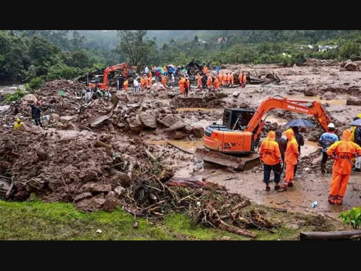
- During testing after the August 15, 2018 landslides, uncalibrated data detected only 8.9% of risk conditions. By using GLEWS with ground-level calibrations, this sensitivity increased to 72.6%.
- In testing after the July 7, 2023 landslide, raw satellite data indicated 20 mm of rainfall, which, when calibrated with GLEWS, increased to 63.9 mm, illustrating the system’s improved accuracy in monitoring localized weather conditions.
Implementation and Functionality:
- GLEWS was originally developed in JavaScript and has been ported to Python for enhanced automation.
- The system can run autonomously during Kerala's monsoon seasons, enabling authorities to issue timely evacuations and thereby saving lives.
Implications for Disaster Management:
- This research highlights the importance of integrating multiple data sources for accurate landslide predictions.
- The GLEWS system represents significant advancements in risk management for landslide susceptibility, particularly in mountainous terrains such as those in the Western Ghats.
Environmental Considerations:
- The study emphasizes the critical need for accurate early warning systems in the context of increasing disruptions caused by climate change and monsoon variability in India.
Conclusion:
The GLEWS initiative is a key example of how technology can be leveraged to enhance disaster preparedness and response in vulnerable regions, reflecting the intersection of science, technology, and environmental policy.
Key Terms & Concepts
| Idukki | Location of landslides |
| University of Mississippi | Research collaborator |
| Michigan Technological University | Research collaborator |
| University of Kerala | Research collaborator |
| GLEWS | Landslide early warning system |
| NASA’s Global Precipitation Measurement | Data source for precipitation measurement |
| Global Forecast System | Source of hourly rainfall forecasts |
| August 15, 2018 | Landslide event for system testing |
| July 7, 2023 | Second landslide event for testing |
| 30-metre slope stability map | Used for terrain stability mapping |
| Factor of Safety | Measurement for landslide susceptibility |
| JavaScript | Original programming language for GLEWS |