iAspirants
Drone Monitoring for Stubble Burning
Published on:
Share this post
Article Summary
Summary of Article on Drone Surveillance for Stubble Burning Monitoring
1. Commission and Context:
- Commission for Air Quality Management (CAQM): Focuses on air quality management in the National Capital Region and nearby states.
- Concern: Stubble burning contributes significantly to air pollution, particularly in Delhi and surrounding areas during certain times of the year.
2. Recommendations for Drone Surveillance:
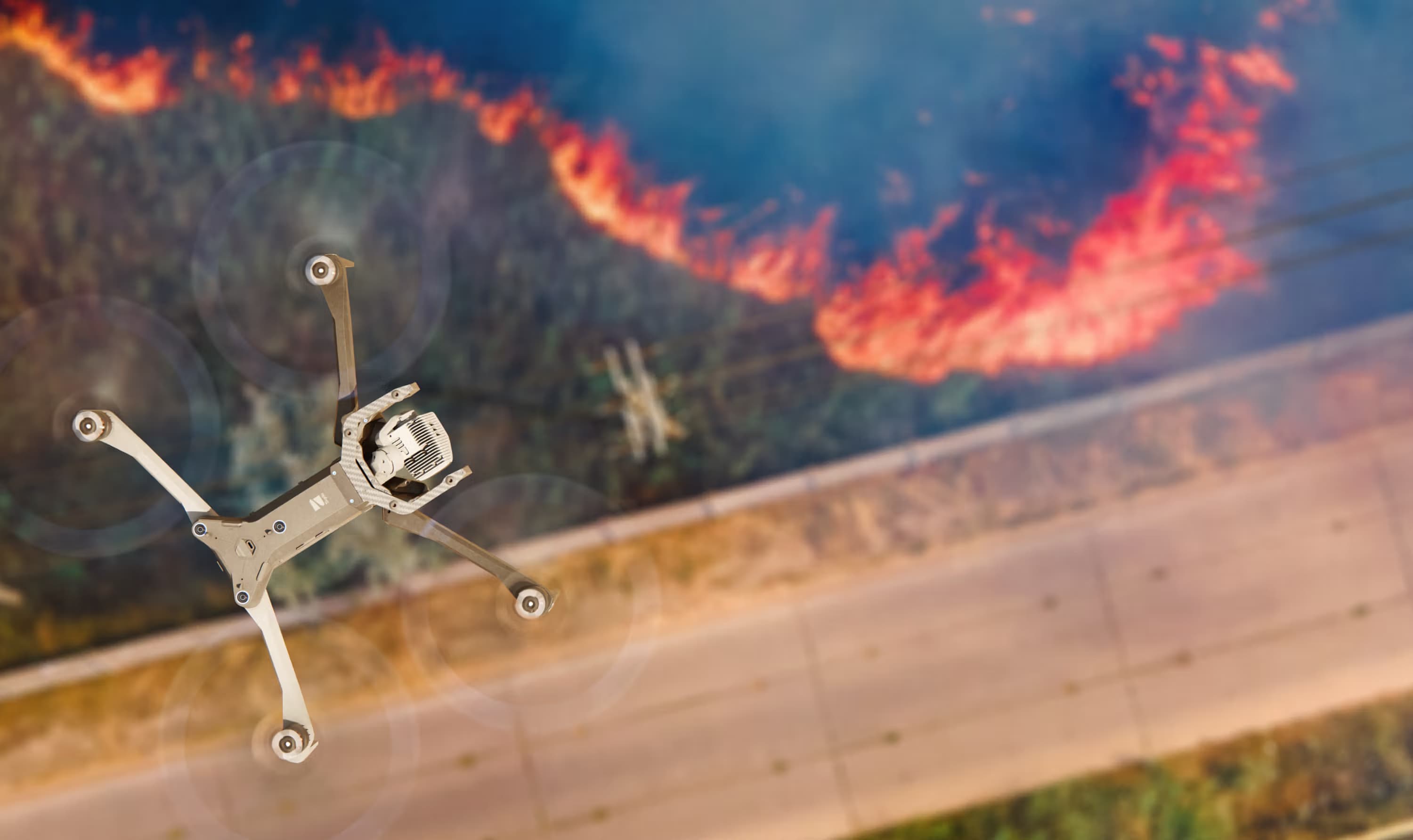
- Adoption of UAVs/Drones: States urged to utilize drones for effective monitoring of stubble burning.
- Advantages of Drones:
- Rapid deployment.
- High-resolution and real-time imaging.
- Flexible flight patterns complementing satellite data and ground inspections.
- Able to detect active fire locations, identify smoke plumes, and map affected fields.
3. Focus Areas and Implementation:
- Target Areas: Emphasis on paddy cultivation zones and known hot spots for burning.
- Drone Flight Plans:
- States advised to prepare detailed drone flight plans.
- Identification of the required number of drone flights mapped against cadastral data for precise field identification.
- Operational Strategy: Drone surveys recommended from 3 p.m. to 9 p.m. to avoid evasion from satellite detection.
4. Legal Compliance and Operational Guidelines:
- Operations to be conducted in accordance with Drone Rules, 2021.
- Ensures operations respect safety and regulatory norms established by the government.
5. Current Applications and Examples:
- Drones currently in use for:
- Infrastructure monitoring.
- Digital aerial surveys.
- Highway projects.
6. Overall Goal:
- The initiative aims to enhance the effectiveness of monitoring and controlling stubble burning to improve air quality in the National Capital Region.
This summary focuses on the proactive steps recommended by the CAQM to utilize technology for environmental management, aligning with national policy objectives aimed at reducing pollution and enforcing regulations effectively.
Key Terms & Concepts
| Commission for Air Quality Management | Regulatory body for air quality |
| stubble burning | Environmental issue in agriculture |
| drone surveillance | Technology for monitoring |
| UAVs | Unmanned aerial vehicles utilization |
| Drone Rules, 2021 | Regulatory framework for drone use |
| hotspot villages | Areas prioritized for monitoring |
| cadastral maps | Mapping tool for identifying fields |
| 3 p.m. - 9 p.m. | Optimal drone operation time |
| high-resolution imaging | Feature of drone technology |
| rice cultivation | Key agricultural practice monitored |