iAspirants
ISRO Launches EOS-05 Earth Imaging Satellite
Published on:
Source: The Hindu
Share this post
Article Summary
ISRO EOS-05 Satellite Launch Overview
Satellite Details:
- Name: EOS-05
- Type: First earth-imaging satellite designed for a geosynchronous orbit.
- Orbit Details: Positioned approximately 36,000 km above Earth's surface, enabling continuous monitoring of specific locations.
Functionality:
- Capable of observing fast-changing events: floods, cyclones, forest fires, crops, forests, water bodies, and land use.
- Utilizes sensors that analyze various wavelengths of light rather than conventional imaging, which allows for distinguishing between vegetation, water, and other land features.
Historical Context:
- Previous geostationary satellites have primarily been weather-related (e.g., INSAT-3D series).
- Dedicated earth-imaging satellites usually operate in low, polar or sun-synchronous orbits, providing finer detail but with less frequent revisits to the same areas.
Significance of Timing:
- Launched following the Bhote Koshi deluge in Nepal, which resulted in 1,344 fatalities. EOS-05’s capabilities may assist in monitoring geological changes that precede disasters such as glacier breaks and avalanches.
- Relevant for assessing environmental issues in Punjab related to stubble burning, potentially shifting monitoring patterns from polar satellites.
Strategic Importance:
- Classified as a “strategic” satellite by ISRO, highlighting its roles in security and weather monitoring.
- Data accessibility is crucial for analysts to convert imaging into useful forecasts and insights.
Technical Notes:
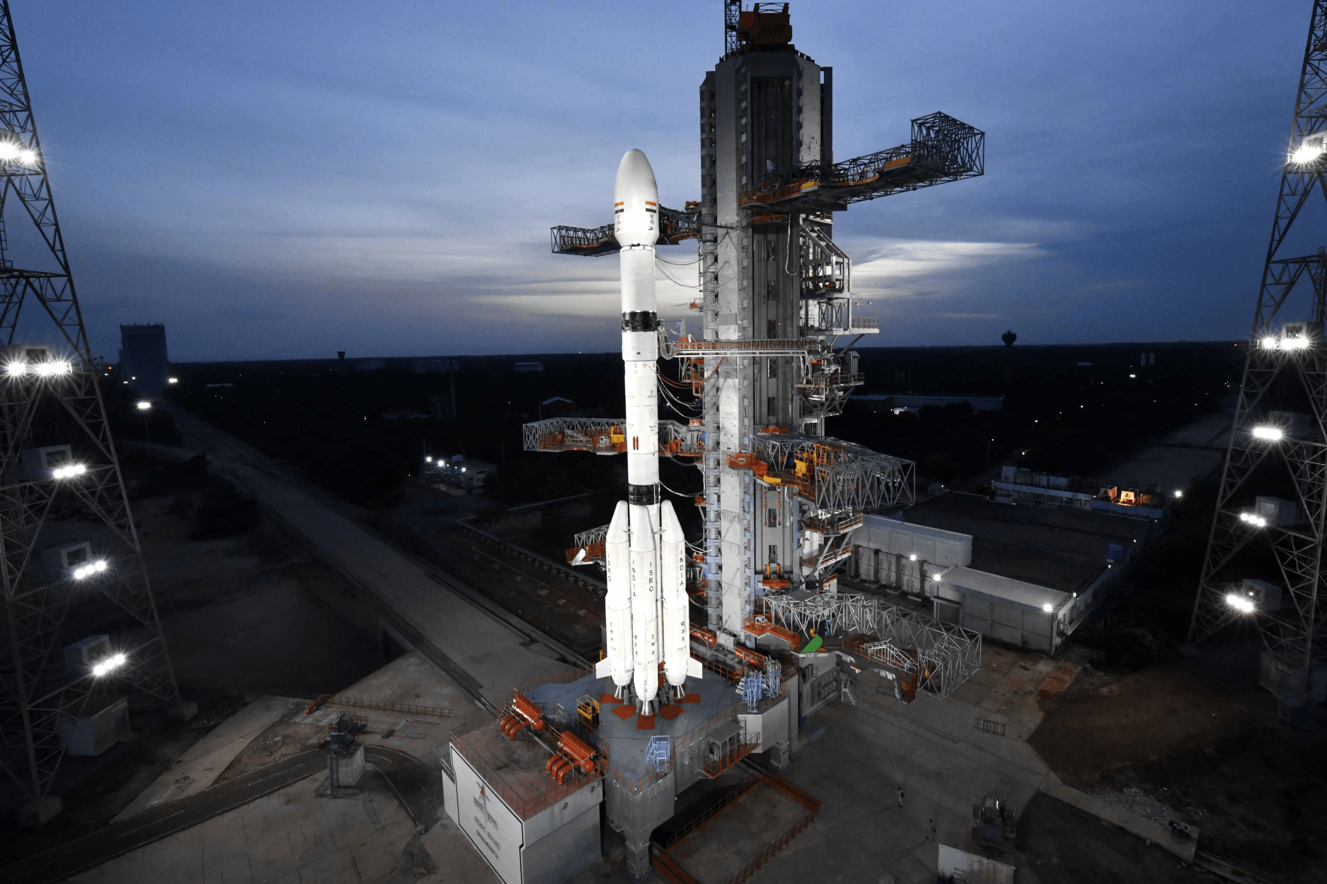
- Launch Vehicle: The successful deployment is seen as an improvement in the reliability of ISRO's launch systems, particularly following past challenges with the cryogenic stage and two previous PSLV failures in 2025.
Key Takeaways:
- Geosynchronous vs. Low-Orbit Satellites: EOS-05 represents a shift to geosynchronous capabilities, enabling consistent observation compared to conventional low-orbit satellites.
- Impact on Disasters: Potential to enhance disaster response and monitoring, especially in light of significant recent floods in Nepal.
- Understanding Agricultural Practices: Ability to analyze agricultural patterns, such as the impact of stubble burning in Punjab.
- Data Utilization: The effectiveness of the EOS-05 will depend on the capability of analysts to interpret its data into actionable insights for environmental and disaster management.
Broader Implications:
- ISRO's Progress: A significant milestone for ISRO following a series of unsuccessful launches; the importance of reliability in satellite deployment is emphasized.
- Strategic Role in Emerging Technologies: Aligns with national goals of enhancing satellite technology for improved weather forecasting and disaster preparedness.
Economic and Technological Significance:
- Enhances ISRO's mission in space technology and environmental monitoring, aligning with global best practices in satellite-based data application for sustainable development and disaster management.
Constitutional and Policy Context:
- Example of alignment with the Directive Principles of State Policy (DPSPs) which emphasize the advancement of agriculture and rural development.
Conclusion:
The EOS-05 launch marks a significant advancement in India’s satellite capabilities, with implications for disaster management, agricultural monitoring, and environmental analysis. It represents a critical step in utilizing space technology for national advancement and preparedness in the face of climate-related challenges.
Key Terms & Concepts
| ISRO | Launch satellite for earth imaging |
| EOS-05 | Earth-imaging satellite |
| 36,000 kilometres | Satellite's operational altitude |
| Bhote Koshi deluge | Disaster affecting Nepal |
| 1,344 lives | Casualties in Nepal deluge |
| INSAT-3D series | Existing weather satellites |
| 2021 | Year of cryogenic stage failure |
| 2026 | Year of successful EOS-05 launch |
| PSLV | Launch vehicle with failures |
| September 07, 2026 | Publication date of article |