iAspirants
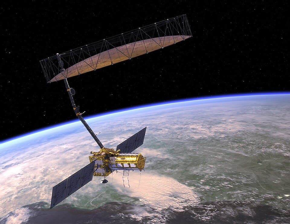
NISAR Satellite Sends Earth Images
Published on:
Share this post
Article Summary
NISAR Earth-Observing Satellite Overview:
- Joint Mission: NASA-ISRO Synthetic Aperture Radar (NISAR) is a partnership between NASA (USA) and ISRO (India), aiming to enhance Earth observation capabilities.
- Launch Date: The spacecraft was launched by ISRO on July 30, 2025.
Technological Features:
- L-band Synthetic Aperture Radar (SAR): Developed by NASA’s Jet Propulsion Laboratory, it captures high-resolution images of Earth's surface.
- Resolution Capability: The radar can resolve details as small as 15 feet (5 meters), allowing for the observation of narrow waterways, land cover types, and agricultural activity.
Initial Imagery:
Mount Desert Island, Maine: First images captured on August 21, 2025. Features differentiating land types:
- Dark areas indicate water
- Green areas represent forest
- Magenta illustrates hard surfaces (buildings, bare ground).
North Dakota Imagery: Captured on August 23, 2025, showing:
- Forests, wetlands, and agricultural plots.
- Use of center-pivot irrigation visually represented by circular patterns in farmland.
- Differentiation of crop types including soybean and corn.
Applications and Importance:
- Disaster Response: Provides critical data to assist in various emergency situations.
- Infrastructure Monitoring: Helps track the development and status of urban and rural infrastructure.
- Agricultural Management: Monitors crop growth and land use, vital for food security and agricultural policies.
- Ecosystem Monitoring: Assists in tracking forest and wetland health, aiding in ecological conservation efforts.
Scientific Significance:
- Planetary Analyses: Insights gained from monitoring Earth are intended to inform models about other celestial bodies, aiding future exploratory missions (e.g., Moon and Mars).
Quote from NASA Official: Amit Kshatriya, NASA Associate Administrator, emphasized the collaboration between the two nations and the potential benefits of the technology developed through this partnership.
Conclusion: NISAR is positioned to be a transformative tool for environmental monitoring, supporting scientific research and contributing to climate and agricultural management on a global scale.
Key Terms & Concepts
| NISAR | Earth-observing radar satellite |
| NASA | Collaborator in satellite mission |
| ISRO | Launcher of satellite |
| July 30 | Launch date of NISAR |
| 15 feet (5 metres) | Resolution capability of radar |
| Mount Desert Island | Location captured by NISAR |
| August 21 | Date of first image capture |
| Grand Forks and Walsh counties | Location captured by NISAR |
| August 23 | Date of additional image capture |
| soybean and corn | Crops monitored by satellite |
| centre-pivot irrigation | Irrigation method observed |
| NASA's Jet Propulsion Laboratory | Provider of radar system |
| disaster response, infrastructure monitoring |